
Baltic Open Solutions Center
spatial data processing and visualization
Baltic Open Solutions Center
digital cartography with modern web front-end solutions
Baltic Open Solutions Center
sensor data collection, analysis, and publication
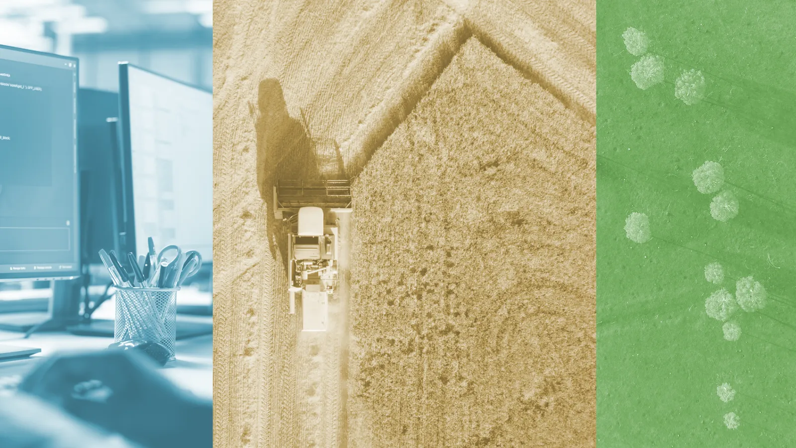
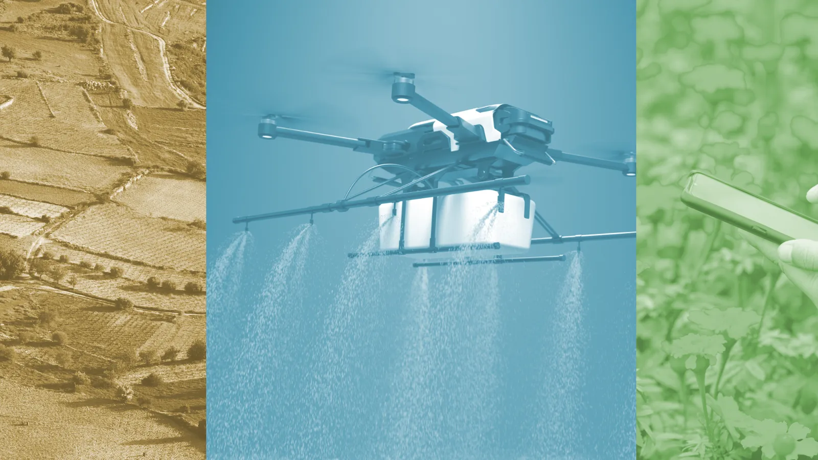
The company specialises in spatial data processing and visualisation, as well as sensor data collection, analysis, and publication.
Our team comprises field professionals passionate about combining open standards-based digital cartography with modern web front-end solutions.
Previous projects have accumulated experience in developing and integrating web services using Node.js and Express.js-based frameworks for environmental, tourism, and purely research-oriented purposes.
We have experience building map applications with OpenLayers, Angular.js, and Vue.js, the most visible of which is the HSLayers mapping library.
Projects
PoliRural
Changes in rural areas, such as depopulation, land abandonment and the loss of biodiversity, may proceed very slowly yet are often irreversible. Policymakers can steer these developments in order to
Read moreCOMUNIDAD
COMUNIDAD is a project funded by the European Union under the project call: HORIZON-EUSPA-2022-SPACE. It aims to form a stakeholder community dedicated to leveraging Copernicus data. The project foc
Read moreFATIMA
The main objective of FATIMA project is “to establish innovative and new farm tools and service capacities that help the intensive farm sector optimize its external input management (nutrients and w
Read moreSIEUSOIL
SDI4Apps is an EU-funded project managed by the University of West Bohemia from the Czech Republic. The project is being implemented with the concerted effort of 18 organizations across Europe. SDI4
Read moreENACT
Development, Operation, and Quality Assurance of Trustworthy Smart IoT SystemsTo unleash the full potential of IoT, realizing the digital society and flourishing innovations in application domains s
Read more
SmartAgriHubs
SmartAgriHubs is dedicated to accelerate the digital transformation of the European agri-food sector. It will consolidate, activate and extend the current ecosystem by building a network of Digital
Read more
SDI4Apps
SDI4Apps is an EU-funded project managed by the University of West Bohemia from the Czech Republic. The project is being implemented with the concerted effort of 18 organizations across Europe. SDI4
Read moreSpektroskopijas sensoru sistēma zaļās lauksaimniecības tehnoloģijai
2025.gada janvārī uzsākts pētījuma projekts “Spektroskopijas sensoru sistēma zaļās lauksaimniecības tehnoloģijai” saskaņā ar noslēgto līgumu Nr.Z.1.4-4/2025 ar SIA MASOC KC (reģ. nr.40203550034) atbi
Read more