Despite active work in the practical implementation of projects, the BOSC team also participates in the development of science. Together with partners from Wirlessinfo, Asplan Viak, Lesprojekt-sluzby, the Forest Management Institute and the Czech Center of Science and Society, an article “Map Whiteboard Cloud Solution for Collaborative Editing of Geographic Information” has been published.
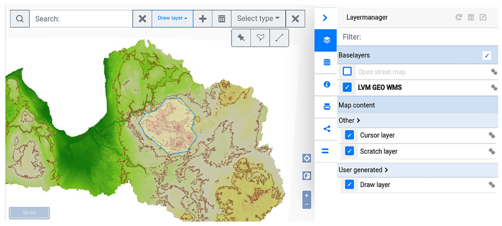
This paper introduce readers with potential of cloud connectivity in geographical information systems and discover the concept of the developed Map Whiteboard, which allows you to create a shared user interface where multiple parties collaboratively can develop maps and map data while seeing each other work in realtime.
The full paper is available here.
The article is part of a PoliRural project. More information: https://polirural.eu/